• IGiS
    • GIS & IP Desktop
    • IGiS Desktop Functionality Matrix
    • GIS & IP Enterprise Suite
    • Photogrammetry Suite
    • IGiS CAD
    • IGiS 3D Pruthvi
    • IGiS Survey 360
    • Products
    • IGiS Free Trial
  • Support
  • About SGL
  • Blog
  • Attention Shareholders!
  • Contact SGL

Category: Uncategorized

Smart Waste Management with GIS

Posted on 20-May-2024 by Nirav Soni
Smart Waste Management with GIS
Posted in Uncategorized

Spatial enablement of real time data and its Applications

Posted on 29-March-2024 by Nirav Soni
Spatial enablement of real time data and its Applications
Posted in Uncategorized

Unveiling the Booming GIS Trends in 2024

Posted on 28-February-202429-February-2024 by Nirav Soni
Unveiling the Booming GIS Trends in 2024
Posted in Uncategorized

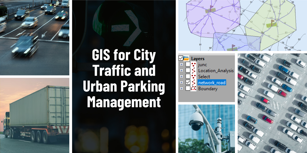
GIS for City Traffic and Urban Parking Management

Posted on 06-February-202406-February-2024 by Nirav Soni
GIS for City Traffic and Urban Parking Management
Posted in Uncategorized

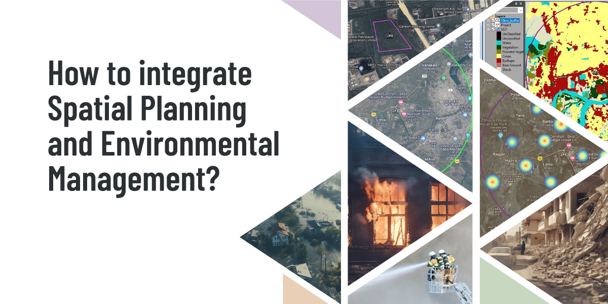
How to integrate Spatial Planning and Environmental Management?

Posted on 10-January-202410-January-2024 by Nirav Soni
How to integrate Spatial Planning and Environmental Management?
Posted in Uncategorized

Guide to Choose the Best GIS Software for Indian Enterprise Businesses

Posted on 26-December-202310-January-2024 by Nirav Soni
Guide to Choose the Best GIS Software for Indian Enterprise Businesses
Posted in Uncategorized

Beyond Maps: The Multifaceted Impact of GIS Software on Indian Industries

Posted on 15-December-2023 by Nirav Soni
Beyond Maps: The Multifaceted Impact of GIS Software on Indian Industries
Posted in Uncategorized

GIS and Remote Sensing for Effective Forest Fire Management

Posted on 30-November-202313-December-2023 by Nirav Soni
GIS and Remote Sensing for Effective Forest Fire Management
Posted in Uncategorized

Empowering smart villages through gis: a geospatial approach to rural development

Posted on 12-November-202306-December-2023 by Nirav Soni
Empowering smart villages through gis: a geospatial approach to rural development
Posted in Uncategorized

Transforming Cities: Unlocking the Potentiality of IGIS in Planning and Monitoring of Urban Areas

Posted on 15-September-2023 by itsupport
Transforming Cities: Unlocking the Potentiality of IGIS in Planning and Monitoring of Urban Areas
Posted in Uncategorized

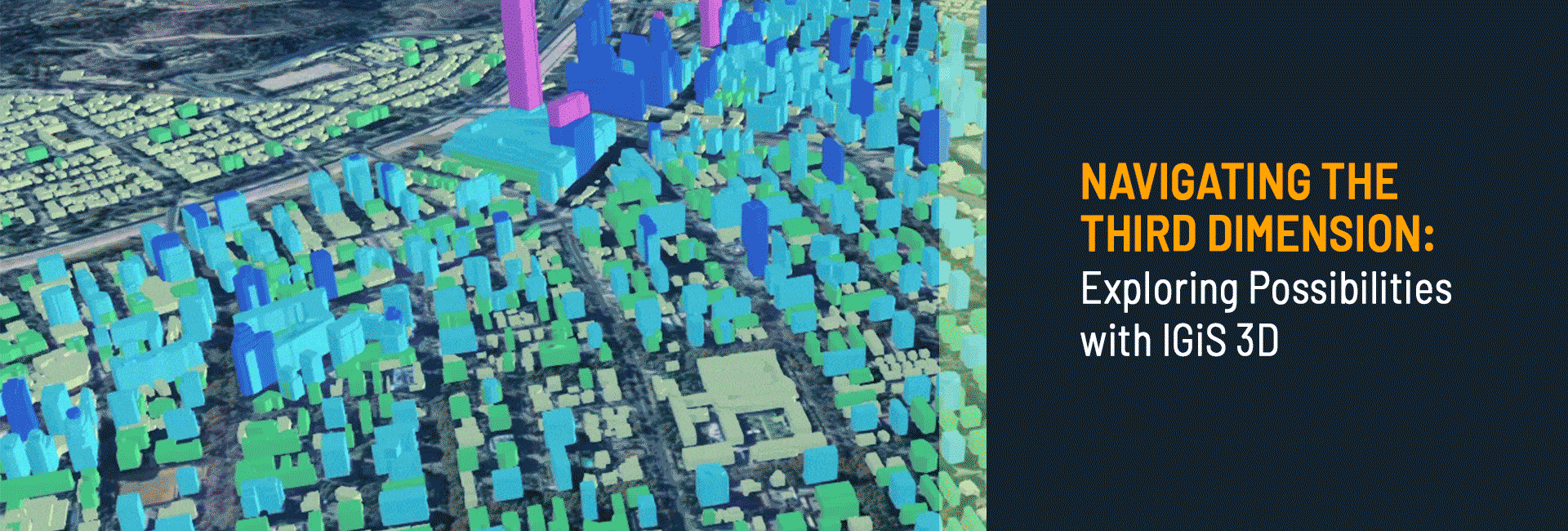
Navigating the Third Dimension: Exploring Possibilities with IGiS 3D

Posted on 16-August-202316-August-2023 by itsupport
Navigating the Third Dimension: Exploring Possibilities with IGiS 3D
Posted in Uncategorized

Unlock the Power of Geospatial Technology with Indigenous IGiS Suite

Posted on 01-August-202316-August-2023 by itsupport
Unlock the Power of Geospatial Technology with Indigenous IGiS Suite
Posted in Uncategorized

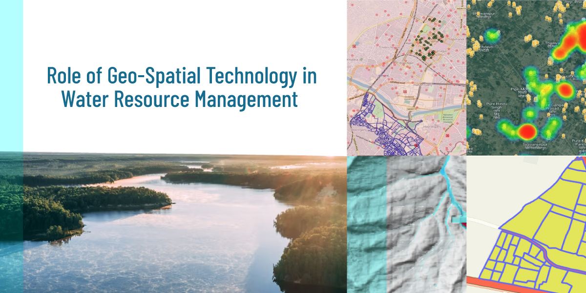
Role of Geo-Spatial Technology (GIS) in Water Resource Management

Posted on 24-July-202303-August-2023 by itsupport
Role of Geo-Spatial Technology (GIS) in Water Resource Management
Posted in Uncategorized

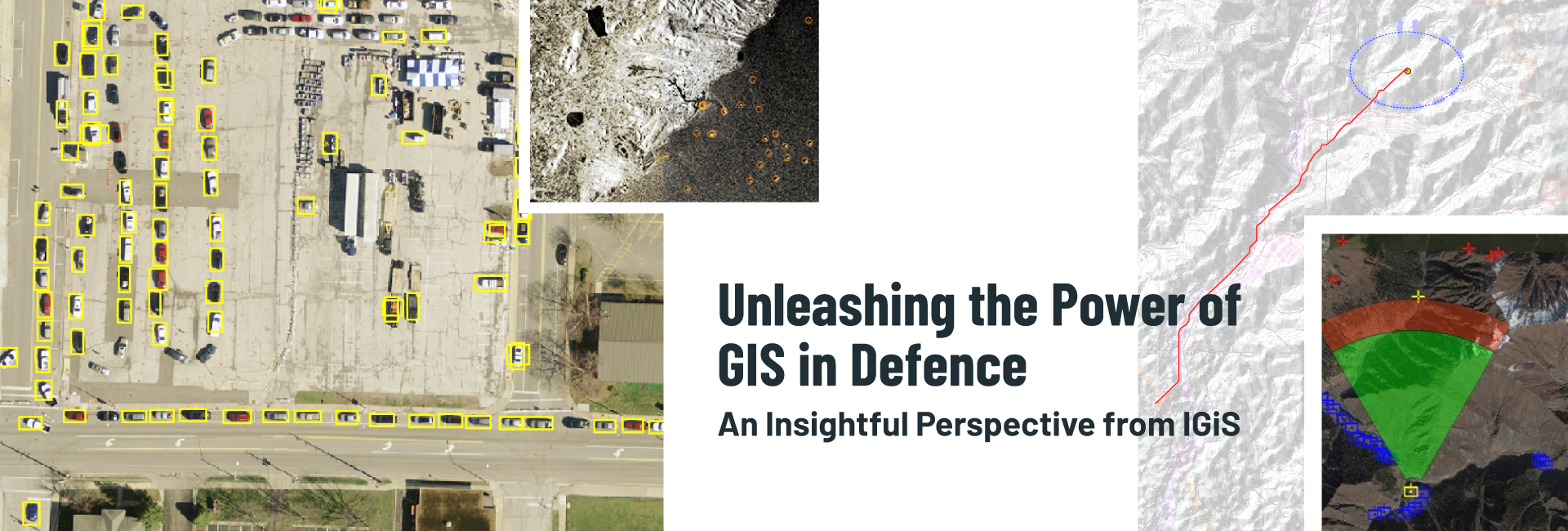
Unleashing the Power of GIS in Defence: An Insightful Perspective from IGiS

Posted on 18-July-202320-July-2023 by itsupport
Unleashing the Power of GIS in Defence: An Insightful Perspective from IGiS
Posted in Uncategorized

GIS Applications For Agriculture

Posted on 12-January-202312-January-2023 by Urvil Kaswala
GIS Applications For Agriculture
Posted in Uncategorized

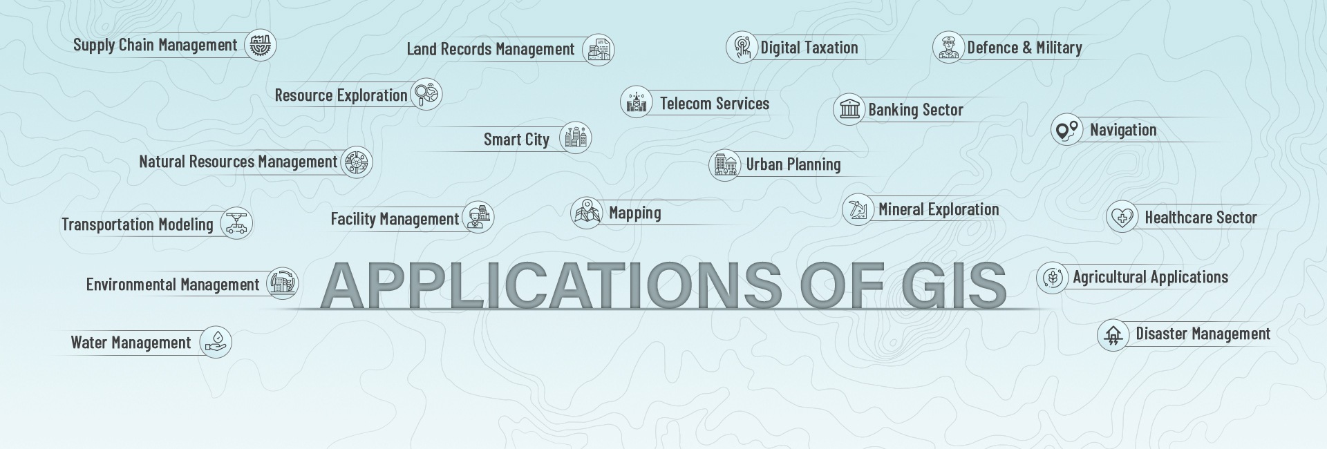
GIS Solution for Multiple Domains & Industries

Posted on 07-December-202224-July-2023 by Urvil Kaswala
GIS Solution for Multiple Domains & Industries
Posted in Uncategorized

GIS FOR FOREST MANAGEMENT

Posted on 31-October-202211-November-2022 by Urvil Kaswala
GIS FOR FOREST MANAGEMENT
Posted in Uncategorized

An Introduction to Remote Sensing and GIS: A Primer for the Novice

Posted on 23-June-202201-November-2022 by Urvil Kaswala
An Introduction to Remote Sensing and GIS: A Primer for the Novice
Posted in Uncategorized

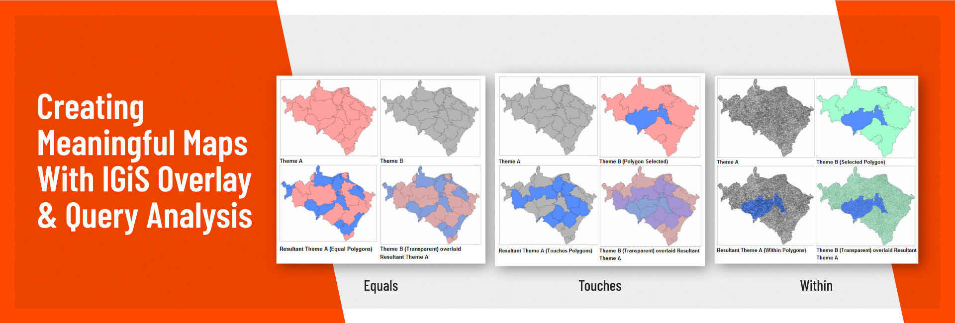
CREATING MEANINGFUL MAPS WITH IGiS OVERLAY & QUERY ANALYSIS

Posted on 14-June-202201-November-2022 by Urvil Kaswala
CREATING MEANINGFUL MAPS WITH IGiS OVERLAY & QUERY ANALYSIS
Posted in Uncategorized

Role of GIS in Disaster Management

Posted on 26-April-202201-November-2022 by Urvil Kaswala
Role of GIS in Disaster Management
Posted in UncategorizedTagged Disaster Management

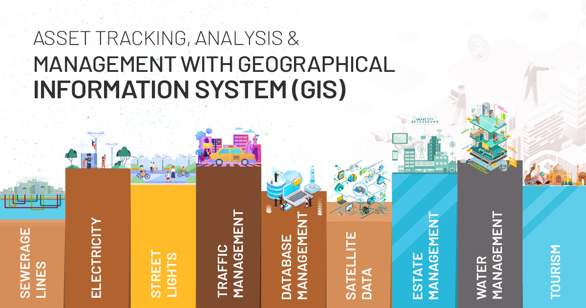
Asset Tracking Analysis & Management with GIS Based Asset Management

Posted on 02-April-202117-June-2021 by Urvil Kaswala
Asset Tracking Analysis & Management with GIS Based Asset Management
Posted in Uncategorized

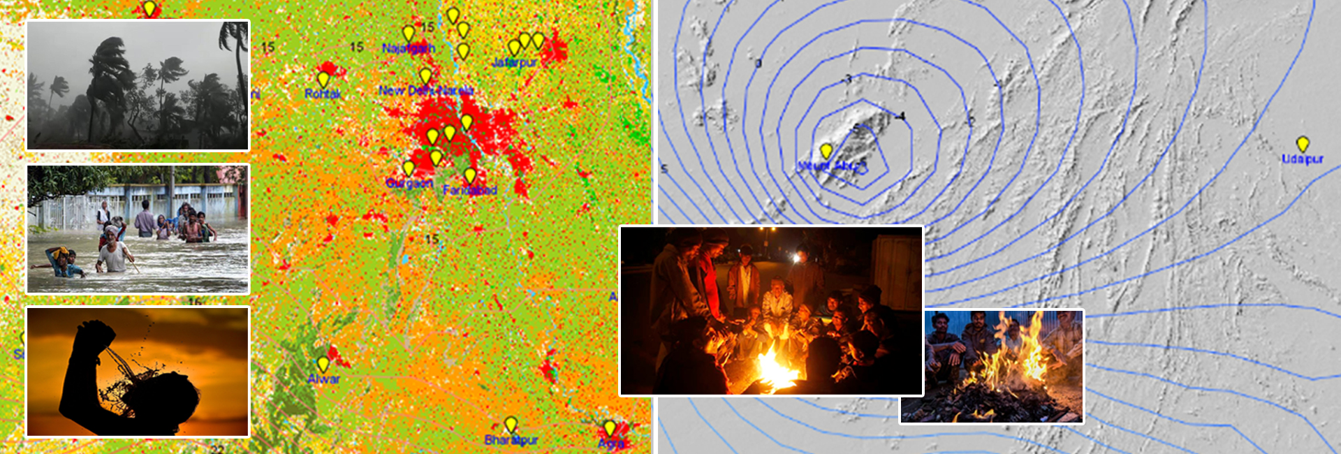
GIS and Weather Studies – A Strategic Tool for Meteorological Analysis

Posted on 31-March-202112-September-2022 by Urvil Kaswala
GIS and Weather Studies – A Strategic Tool for Meteorological Analysis
Posted in Uncategorized

GIS – Mirroring the COVID-19 Spread

Posted on 25-March-202108-April-2021 by Urvil Kaswala
GIS – Mirroring the COVID-19 Spread
Posted in Uncategorized

Photogrammetry for Terrain Modelling

Posted on 16-January-202121-January-2021 by Urvil Kaswala
Photogrammetry for Terrain Modelling
Posted in Uncategorized

Important Applications of GIS

Posted on 27-November-202006-June-2024 by Urvil Kaswala
Important Applications of GIS
Posted in Uncategorized

Genesis of SGL

Posted on 18-September-202015-September-2021 by Urvil Kaswala
Genesis of SGL
Posted in Uncategorized

Recent Posts

  • Smart Waste Management with GIS
  • Spatial enablement of real time data and its Applications
  • Unveiling the Booming GIS Trends in 2024
  • GIS for City Traffic and Urban Parking Management
  • How to integrate Spatial Planning and Environmental Management?

Archives

  • May 2024
  • March 2024
  • February 2024
  • January 2024
  • December 2023
  • November 2023
  • September 2023
  • August 2023
  • July 2023
  • January 2023
  • December 2022
  • October 2022
  • July 2022
  • June 2022
  • April 2022
  • April 2021
  • March 2021
  • January 2021
  • November 2020
  • September 2020

Categories

  • Announcements
  • SGL in News
  • Uncategorized

Meta

  • Log in
  • Entries feed
  • Comments feed
  • WordPress.org

Makers of IGiS - an indigenous technology which brings GIS, Image Processing, Photogrammetry and CAD together on a single platform.

IGiS

  • GIS & IP Desktop
  • GIS & IP Enterprise Suite
  • Photogrammetry Suite
  • IGiS CAD
  • IGiS 3D Pruthvi
  • IGiS Survey 360
  • IGiS Desktop Functionality Matrix

Solutions

  • IGiS for Smart City
  • IGiS for Defence
  • IGiS for Land Records System
  • IGiS for Urban Information System
  • IGiS for Agriculture
  • IGiS – Tracking Platform

About

  • About SGL
  • Careers
  • Blog
  • Case Studies
  • News
  • Investors
  • Contact SGL
  • GIS Day

© 2025 Scanpoint Geomatics Ltd. All rights reserved.

  • Terms of Use
  • Privacy Policy
  • Cookies