GIS Solution for Multiple Domains & Industries
There are No Passengers on Spaceship Earth. We all are Crew. So, Let’s Utilise Earth Perfectly
It’s not too surprising that the Earth is so Welcoming to life. It gets a little mind-boggling how our mother planet has been giving wonders to life for many years. We had been very Self–Centric & we kept ourselves busy updating ourselves.
It is time to utilize the earth perfectly instead of exploiting it. But the question is HOW? WHERE? WHAT?
All answer ends with a single thing “Optimum use of technology towards Nature of the Earth”
Here comes the role of the Remote Sensing & Geographic Information System (GIS) for preserving the Mother Planet. Geospatial Technology makes it easy to monitor, analyze, collect, integrate & distribute information on the earth for its conservation.
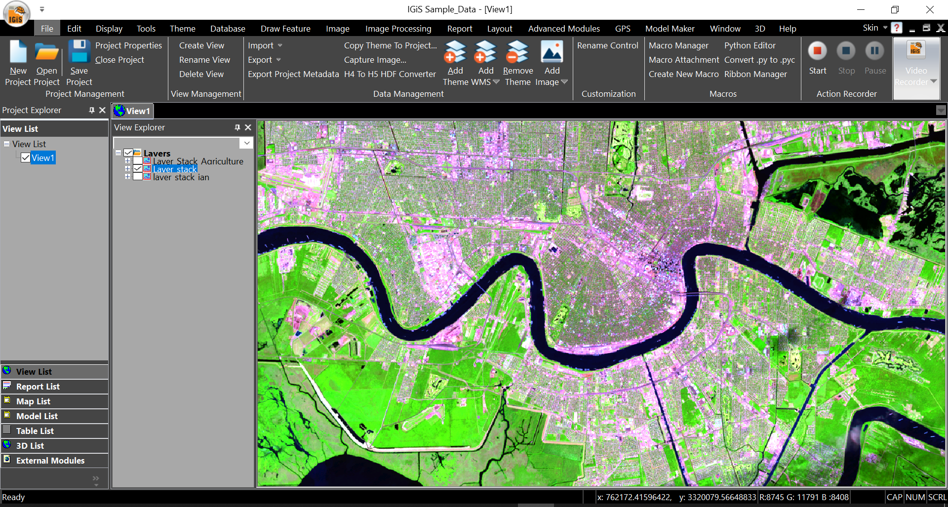
In today’s world, many ready-made geospatial technologies are evolving in every domain. Indigenous technology “IGiS” is one of them. Scanpoint Geomatics Ltd (SGL) & ISRO had jointly developed this technology. IGiS is an integrated End-to-End GIS software that offers GIS, Image Processing, Photogrammetry & CAD on a single platform.
Here are a glimpse of how IGiS can be used for the conservation of Earth
1. Environmental
Every matter is all about the surrounding environment. Our/earth’s environment can be monitored by remote sensing & GIS Technology since it is a wide & large area. Remote sensing technology (Satellite, Drone Image, and Aerial Photographs) is perfectly used to collect environmental data on land, water resources, and other natural factors.
GIS technology enables the experts to produce many overlay map layers to conduct impact assessments. Forecasts for natural disasters may also benefit from it. Statistical data, projected future growth, business-related challenges, and other information can all be combined in analysis maps.
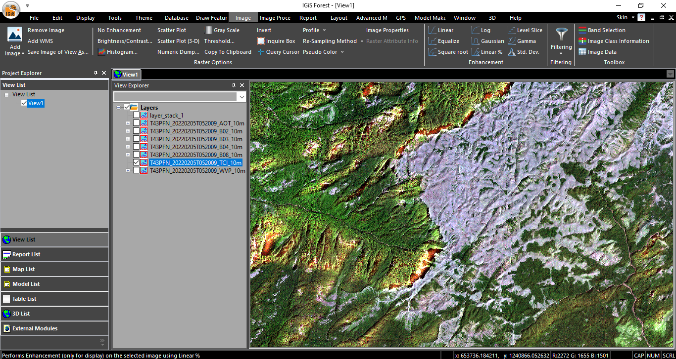
2. Remote Sensing and GIS in Forestry
Forest is the sole of our Environment. Remote sensing and GIS technologies are made possible for the improved monitoring, mapping, and management of forest resources. A GIS environment’s forest inventory databases are where the majority of the data used to support forest management is kept. Forest inventory – one of the main sources of information on forest management, assists a variety of management choices, from harvesting plans to the creation of long-term policies.
The use of remote sensing by forest managers has continuously grown, helped in large part by improved image integration with GIS and database systems as well as technology implementations that better meet forest managers’ information needs. The following categories essentially describe the most significant forest data derived from remotely sensed data:
» Detailed forest inventory data.
» Broad area monitoring (including Forest fire, forest encroachment, Deforestation, Animal Monitoring, and many others) of forest health and natural disturbances.
» Assessment of forest structure in support of sustainable forest management.
3. Remote Sensing and GIS in Disaster Management
Disasters are most of the case is unpredictable either natural or man-made/accident due to several factors. But, Geospatial Technology can be used seamlessly in all the stages of the disaster management cycle including the Mitigation process to the Recovery process.
A few applications
» Development of an Early Warning System (for Flood, cyclones, earthquakes and so on)
» Accident or Biological Disaster Hotspot Mapping and Analysis
» Disaster Prone Area Mapping & Awareness, etc.
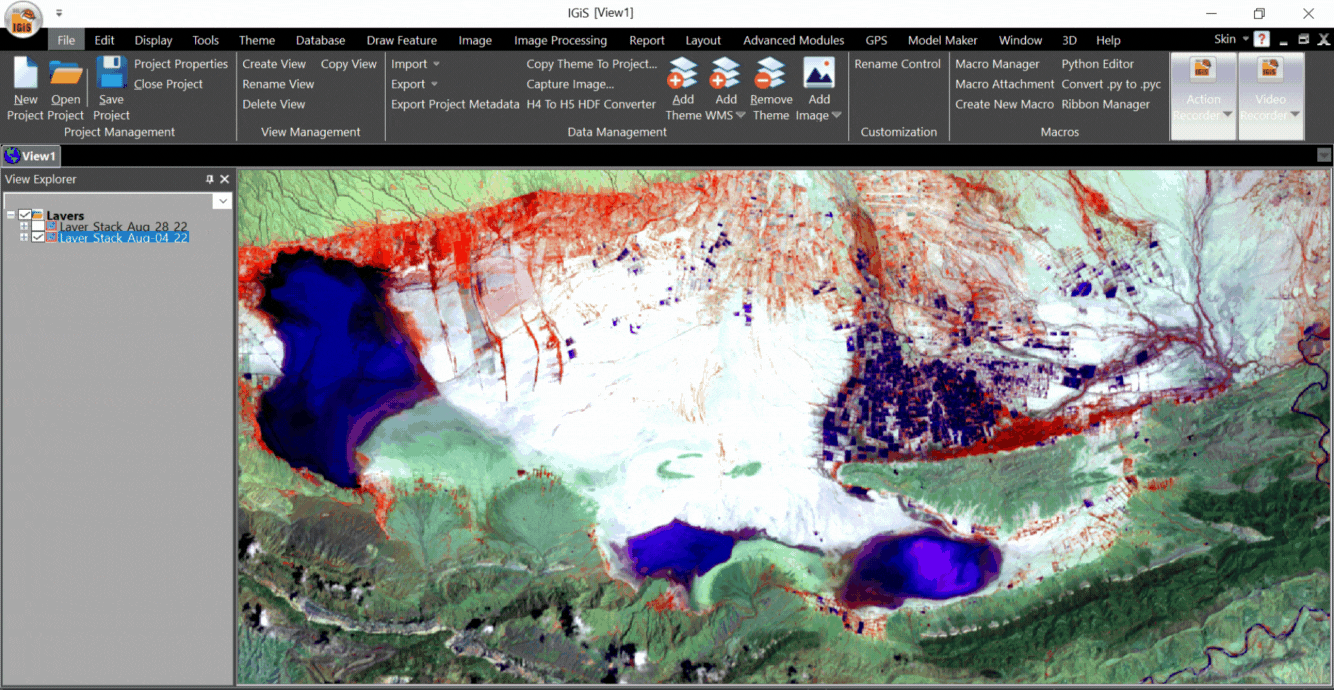
Before and After Flood
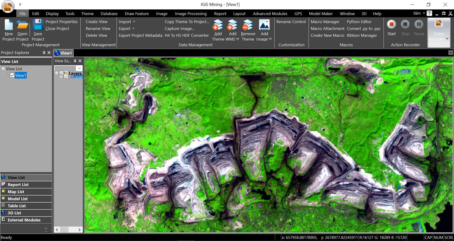
4. Application of Remote Sensing and GIS in Mining:
Remote sensing technology has been a significant complement to field mapping, lithologic and structural mapping, and more recently, geographic information systems (GIS) when the main and secondary processes of mineralization result in the production of spectral anomalies, remote sensing becomes an important technique for detecting mineral deposits.
GIS is the ideal tool for analyzing diverse geoscience data to pick the best locations for mineral deposits or, more precisely, promising authorities for further investigation. Understanding the use of hyperspectral remote sensing is also essential since it can be used to categorize and map locations of interest for exploration. Also, Geospatial technology gives enormous support to the analysis & mapping of geology, geomorphology, groundwater potential zone profile, saltwater intrusion, leachate percolation, and many others.
5. RS & GIS Applications in Soil Analysis
One of the salient features of GIS is soil analysis. Each crop has alternate requirements in soil, for example, wheat would prefer loamy soils because of their water-retaining capacity & richness in humus whereas paddy would prefer sticky soil for the advantage of organic matter. Recognizing the soil properties would give the farmers an upper hand in deciding which crops to grow. This will increase the yield of crops and prevent any failure in the future.
Geospatial Technology plays a tremendous role in the analysis of soil characteristics and the main applications of geospatial technology are listed below.
» Soil Survey Interpretation
» Geospatial Database for Soil Data
» Soil Data Analysis
» Soil Types & Mapping
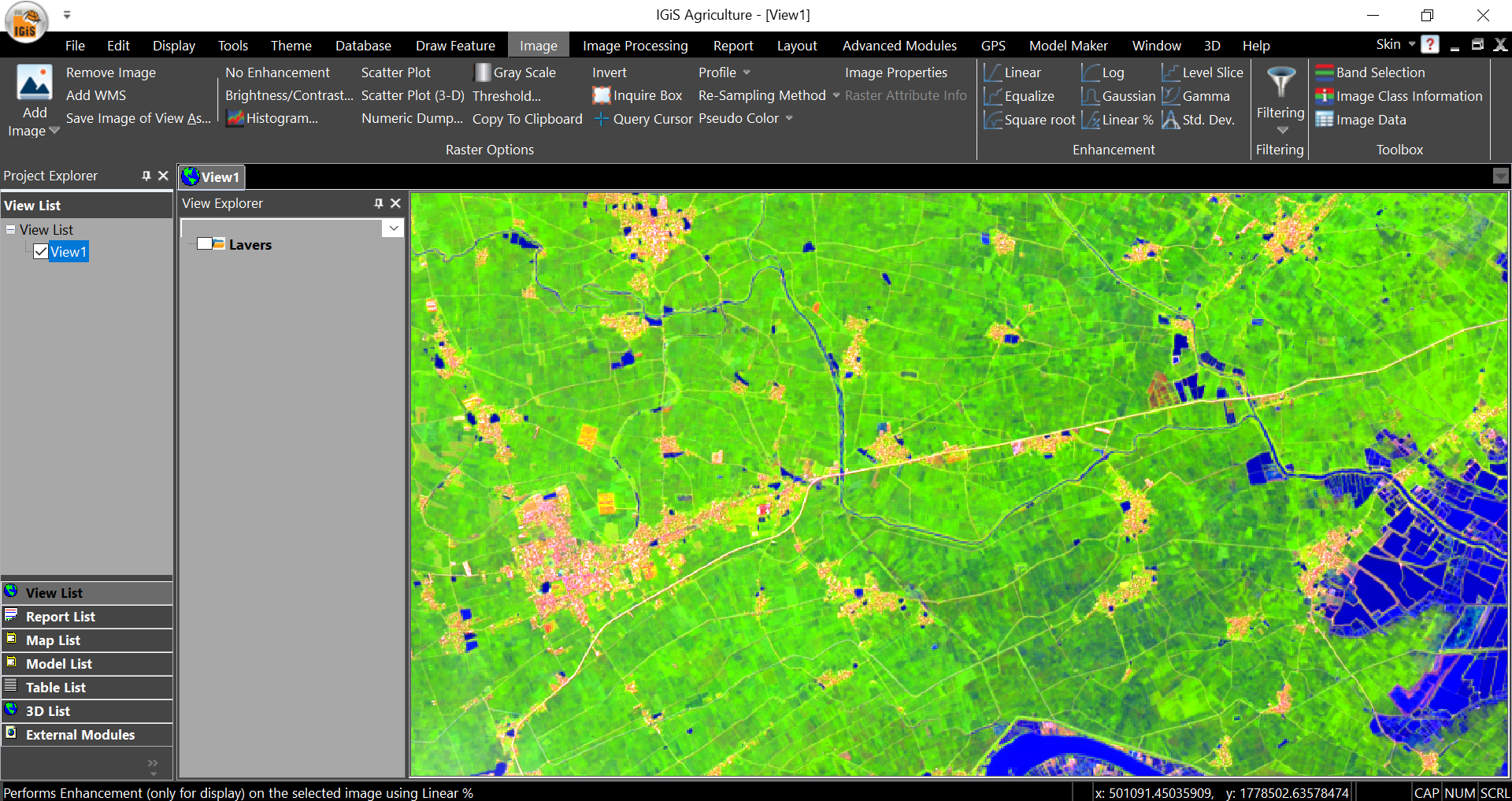
6. Geospatial Applications in Agriculture Field
As everyone knows Agriculture plays an important role in India’s economy. Agriculture and its related sectors are undoubtedly the main livelihoods of India. Agriculture and related activities in India have gone through a green revolution, a white revolution, a yellow revolution, and a blue revolution. (https://www.india.gov.in/topics/agriculture). The Green Revolution was a series of research and technology transfer activities to improve agricultural productivity. Geospatial technology is not new to the agricultural sector. Now the expansion of technology has shifted to an advanced level.
Geospatial technology with the integration of emerging technology has played an incredible role in recent decades in order to boost agricultural productivity in terms of food security, sustainable management of natural resources, protection of biodiversity, and many others. Moreover, Geospatial technology is an ever-growing field. It is already profoundly integrated into many departments of government at all levels, as well as various types of private sectors. Additionally, it continues to create innovations that help us in our daily lives. A few applications are listed below.
» Crop Condition Assessment
» Crop Yield Estimation
» Insect and Pest Control
» Real-Time Mapping
» Smart Farming
7. Remote Sensing & GIS role in Waste Management
Geospatial Technologies are helpful in producing Digital Elevation Model (DEM), Land Use Land Cover (LULC), etc. which plays a key role to identify the suitable disposal site for solid waste management. It also enable the users to find the optimal route for the waste collection process. Furthermore, the future resource requirements for planning and monitoring solid waste management using GIS technology is also possible. A few applications,
» Dustbin Locations, Dumping Yard Location, etc.
» Suitability Site Analysis
» Effects & Remedies of waste dumping (i.e leachate penetrations to the ground, air pollution, and so on)
8. Water Resource Management using Remote Sensing & GIS Applications
The most successful and efficient way for investigating water resources, assessing flood risks, and planning for water has been water body extraction utilizing Remote Sensing techniques. RS & GIS have emerged as a key technological tool in water resource survey, water resource monitoring, wetlands protection, and disaster prevention and mitigation. Remote sensing’s vast instantaneous coverage and period repeatability have made it an increasingly important tool in the field of hydrology for the effective management of available resources. A few applications,
» Water Supply Management
» Stormwater Control & Management
» Groundwater Analysis & Modelling
» Water Quality Analysis, etc.
Conclusion
We are changing ourselves every day so the earth is. Upgrading your surroundings by utilizing the earth with technological advancement is the key to a better future. IGiS is the most useful software to solve complex GIS problems, increase your yield and enable your next geospatial technology platform.
From the moment we wake up and step out of our house, everything we feel and see is a part of the earth. Trees, flowers, landscapes, insects, breeze, and everything else make our environment so beautiful, fascinating and a place where living things can survive. It’s our primary responsibility to save for future generations.
Let’s Utilise the Earth Perfectly, instead of Exploiting it.
Latest Blog

Smart Waste Management with GIS
1. Introduction: Waste management entails the responsible collection, processing, and disposal of waste materials with a focus on environmental preservation. Its core objectives include waste reduction, resource recovery, and the....
Read More