Important Applications of GIS
Geographical Information System, better known by its abbreviation GIS, is a software that aids professionals to acquire, manage, analyse, and visually represent large amounts of geospatial data. This data helps to shape operational as well as strategic decisions around the world. The growth in GIS technology over past decades has led to proliferation of GIS applications in many sectors like government, industry, NGO, public bodies etc. It facilitates business by substantial saving of resources in terms of time, cost, and efforts. The innovative GIS technologies are useful to virtually any industry.
Here are the top applications of GIS in the industry
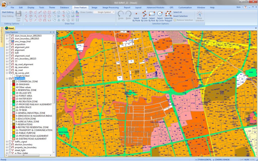
1. Mapping
Mapping is considered as the central function of GIS. It is the visual representation of data that is stored by GIS in the database. Maps are the basic requirement for several entities in current situation.
2. Telecom Services
Telecom services benefit a lot from GIS in terms of efficient planning and operational decision making. GIS data facilitates the wireless telecom sector by helping them incorporate geospatial data into the complex network design and optimization activities.
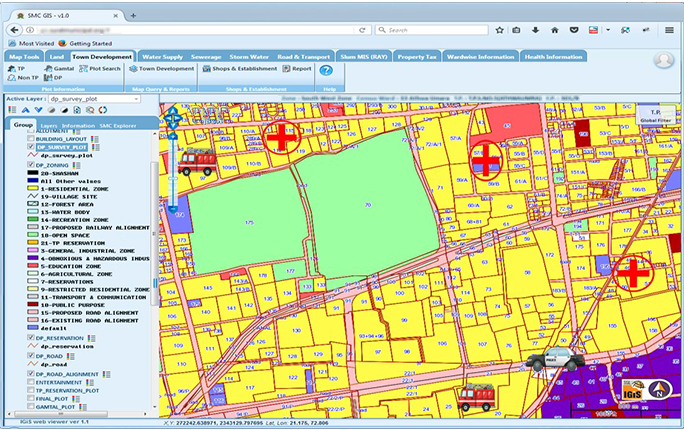
3. Urban Planning
As populations grow, so do urban settlements. This gives the planners much lesser space and resources to develop the infrastructure. Also, the planners need to account for the impact this makes on the flora and fauna in the region. The urban planners depend on GIS to a great extent to minimize the negative impact on existing historic structures or natural spaces while responsibly accommodating humans. The advanced GIS mapping capabilities help the users to produce high accuracy base-maps for urban information systems.
4. Smart City
The smart city concept is emerging as the next big player around the world to improve the efficiency and security of urban development. GIS is responsible for integrating all the major aspects of city planning and management. It provides a common operating platform to all the sectors of the region. A comprehensive digital environment provided by GIS helps to enhance the urban systems in terms of pollution abatement, water and waste management, energy optimization, tax and revenue collection and much more.
5. Environmental Management
GIS is useful in environmental management as it facilitates monitoring of the changes in soil, water, air and tree cover. It helps in environmental conservation, waste management and mitigation of disasters. Examples of GIS applications are hazard mitigation strategies, air pollution control, disaster management, forest fires management, natural resource management & allocation, waste management, oil spills, and so many more issues that are a threat to the environment.
6. Water management
At present, GIS is being used in monitoring of natural and man-made water bodies, managing water supply, modelling sewer systems, modelling groundwater, modelling storm water and nonpoint source pollution modelling for urban and agricultural areas.
7. Agricultural Applications
GIS is used for monitoring of crops and prediction of their possible production in agriculture. GIS helps improve the efficiency of farming techniques and post harvest crop management. It can also give an insight into the soil properties, including mineral content and topography, hinting towards what crop to sow, which in turn increases the yield.
8. Disaster Management
Disasters are spatial. GIS facilitates decision making by combined analysis of different layers of relevant information. Socio-economic and geo-spatial data helps authorities to rapidly access and visualise critical information to tackle disastrous conditions. It also comes in handy for hazard zone mapping. This in turn enables early mitigation of emergency conditions using real-time weather, traffic, infrastructure, and demographics.
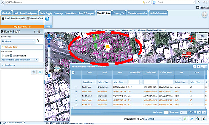
9. Healthcare Sector
Health and human services is a sector that is benefitting the most in this digital era. GIS helps the officials to focus on patterns of spread within communities. This in turn enables them to direct preventive measures and efficiently address problems as they emerge. Also, GIS facilitates tracking and quarantining entire clusters in case of contagious epidemics. It has helped the officials analyse significant trends and identify high-risk points. GIS incorporates geographic approach, like visualizing the information from the available datasets, for monitoring and maintaining health services.
10. Navigation
Online navigation maps encourage safe travelling on both land and water. GIS facilitates safe navigation by providing accurate topographic and hydrographic data. The maps are regularly updated to keep the travellers informed about hazards, and enable them to minimize the risk of collision.
11. Natural resources Management
GIS is of utmost use when it comes to monitor and manage natural resources like agriculture, water, forests, minerals, and more. Geographic distribution of these resources can be analysed and hence, these resources can be judiciously used. Forests can be easily monitored, crop yields can be managed, crop rotations can be planned, and water resources can be utilized sustainably.
12. Mineral Exploration
Starting from exploration to and production to mine rehabilitation, many mining activities depend on GIS. GIS is used in collecting data in the field, hence making the mapping process easier. Explorations tools are provided by GIS to manage, display, and analyse data. This makes the whole process more efficient and cost-effective. Both short and long term scheduling can be done with the help of GIS to optimise the products and increase operational efficiency.
13. Banking Sector
Planning, organizing, and decision making are enabled by GIS in the banking sector. While the banking sector rapidly grows, it has become more market-driven and responsive. The banks are dependent on GIS technology to give the customers a personalised experience.
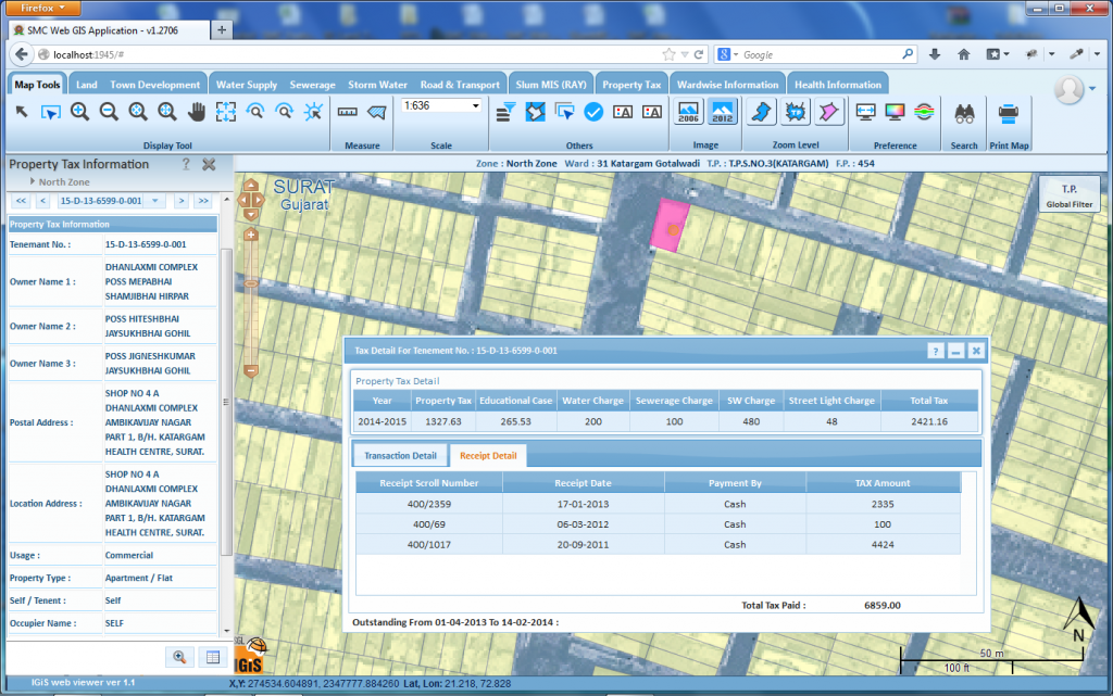
14. Digital Taxation
GIS can be used to improve the efficiency of the taxation system and maximise government income. It can be used to store information about tax payables and revenue collection with accuracy. This data can also be viewed visually to monitor compliance.
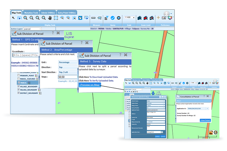
15. Land Records Management
GIS technology along with GPS is being used in managing land records and development of a land records system as well. It helps preserve the records which in turn lessen the number of boundary disputes. It also localizes land boundaries irrespective of the constantly changing conditions of the physical piece of land.
16. Supply Chain Management
The supply chain has changed immensely over the last decade. Also, with the emergence of e-commerce, the process of buying and delivering products and services has rapidly evolved. Tracking shipments and inventory is imperative. The ability to track shipments can increase the supply chain’s efficiency and save money and resources for the business that use GIS.
17. Defence & Military
Terrain analysis is crucial for defence and military operations. This information is being derived from digital images, provided by GIS technology. The data provided by GIS regarding terrain features are useful in war strategies as well as in peacetime. Also, GIS can be used for extracting information about the disputed territories to know about enemy movements, in order to gain strategic advantage.
To enhance your understanding and involvement in the GIS field, it’s important to engage with the broader community of professionals and enthusiasts. Connecting with others through online communities, forums, and professional associations can significantly boost your knowledge, provide networking opportunities, and keep you up-to-date with the latest industry developments. Here are some key platforms where you can join the conversation and deepen your GIS expertise:
GIS Community and Networking for GIS Application Updates:
As a GIS professional or enthusiast, staying connected with the latest trends and developments in the industry is crucial. Engaging with online communities, forums, and professional associations can provide valuable insights, networking opportunities, and continuous learning. Here are some key platforms where you can connect with other GIS professionals, share knowledge, and stay updated:
» GIS Stack Exchange: This is a Q&A site for cartographers, geographers, and GIS professionals. It’s a great place to ask technical questions, share your expertise, and learn from others.
» Reddit GIS Community: The GIS subreddit is an active community where professionals and hobbyists discuss various GIS-related topics, share news, and seek advice.
» LinkedIn Groups: There are several LinkedIn groups dedicated to GIS, such as the “GIS Professionals” group, where you can network with other professionals, participate in discussions, and share industry news.
» American Association of Geographers (AAG): A professional association offering memberships that include access to conferences, publications, and a network of geographers and GIS professionals.
» Urban and Regional Information Systems Association (URISA): URISA provides education, training, and a community for GIS professionals. They offer conferences, webinars, and a wealth of resources to stay updated on GIS trends.
» International Association of Assessing Officers (IAAO): IAAO offers resources and networking opportunities for GIS professionals involved in property appraisal and assessment.
» GIS Lounge: A comprehensive resource offering articles, job listings, and a newsletter focused on GIS news and developments.
» Local GIS User Groups: Many regions have local GIS user groups that hold regular meetings and events. These groups can be a great way to network with GIS professionals in your area.
By engaging with these communities, you can enhance your knowledge, gain insights from experienced professionals, and stay informed about the latest technological advancements and industry trends. Whether you are seeking technical advice, job opportunities, or professional development, these platforms offer valuable resources to help you grow in your GIS career.
FAQs:
What are the top applications of GIS in different industries?
The top applications of GIS include mapping, telecom services, urban planning, smart city development, environmental management, water management, agricultural applications, disaster management, healthcare sector, navigation, natural resources management, mineral exploration, banking sector, digital taxation, land records management, supply chain management, and defense & military operations.
How does GIS benefit urban planning?
GIS aids urban planners in minimizing negative impacts on existing structures and natural spaces while accommodating growing populations. It provides advanced mapping capabilities for producing high-accuracy base maps, essential for urban information systems.
What role does GIS play in disaster management?
GIS facilitates decision-making in disaster management by analyzing various layers of relevant information, including socio-economic and geospatial data. It helps authorities access critical information in real time, enabling early mitigation of emergency conditions.
How does GIS support environmental management?
GIS enables monitoring of environmental changes, aiding conservation, waste management, and disaster mitigation. It supports hazard mitigation strategies, pollution control, disaster response, and natural resource management.
In what ways does GIS enhance agricultural practices?
GIS helps monitor crop conditions and predict production, improving farming techniques and post-harvest management. It provides insights into soil properties and topography, guiding crop selection and increasing yields.
What are GIS used for?
GIS, or Geographic Information Systems, are used for acquiring, managing, analyzing, and visualizing geographical data. They serve various purposes including mapping, spatial analysis, decision-making support, resource management, and infrastructure planning across different industries.
What are the three examples of GIS?
Three examples of GIS applications are urban planning, environmental management, and disaster management. These applications demonstrate the versatility and importance of GIS technology in addressing complex spatial challenges and supporting decision-making processes.
Latest Blog

Smart Waste Management with GIS
1. Introduction: Waste management entails the responsible collection, processing, and disposal of waste materials with a focus on environmental preservation. Its core objectives include waste reduction, resource recovery, and the....
Read More