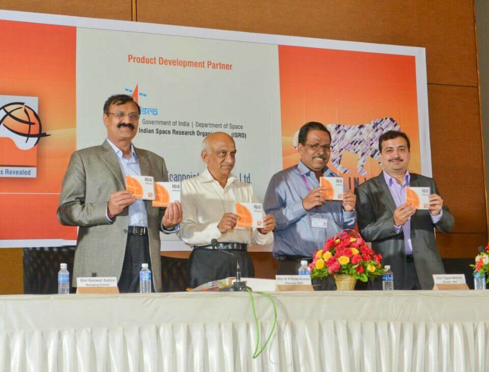
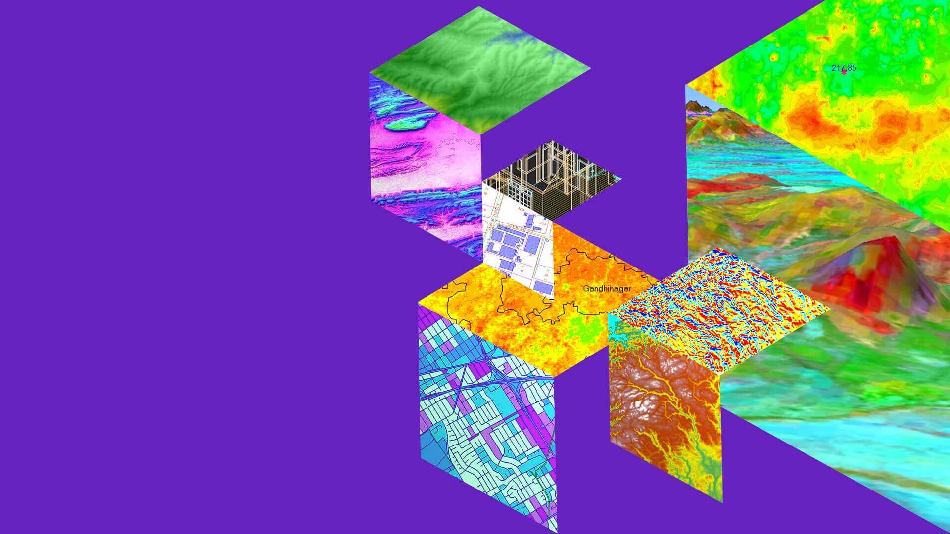
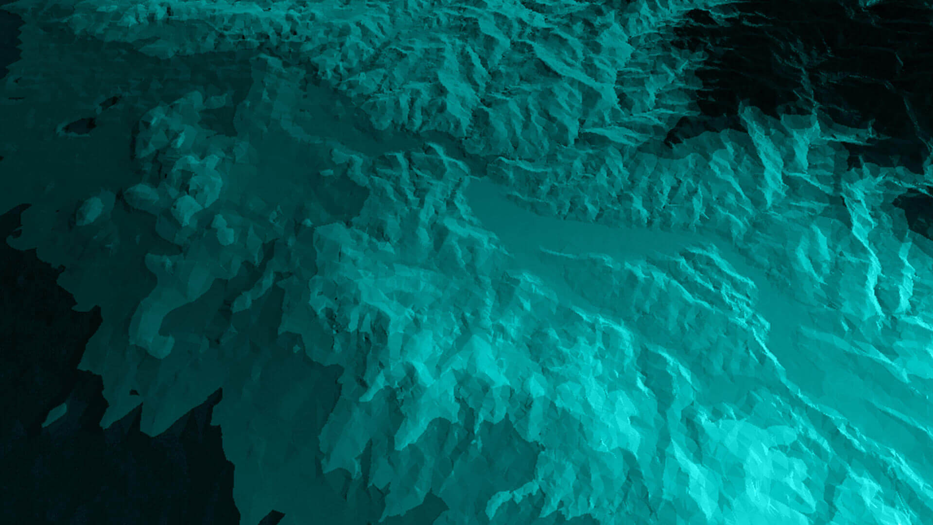
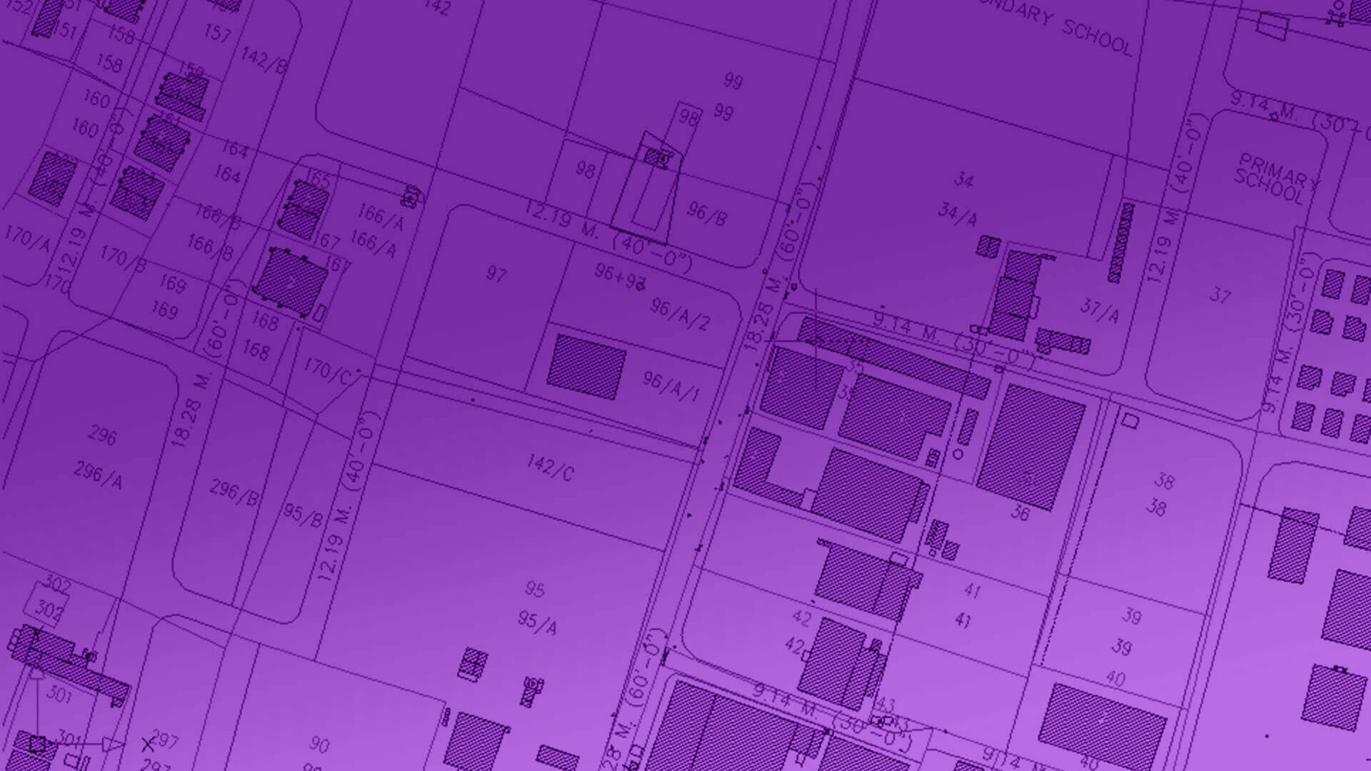
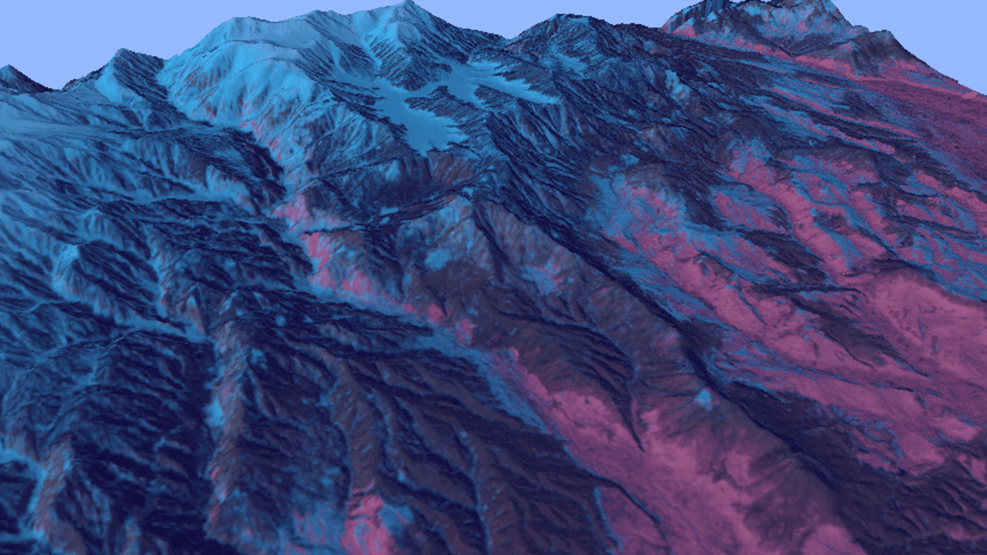
IGiS for Smart City
IGiS Smart City solution helps in making the city smarter in terms of pollution, water, waste, energy, tax, and many more by incorporating GIS technology.
Explore MoreIGiS platform enables you to discover, use, make, and share maps from any device, anywhere, at any time.
We provide you complete control over customization and help you create a solution that caters to your needs.
There are many variations of passages of Lorem Ipsum available, but the majority have suffered alteration in some
IGiS Technology Development Partners
With an innovative approach and a focused attention to details, the duo developed IGiS – India’s first independent and integrated platform for Geospatial industry. The partnership has resulted in the integration of GIS, Image Processing, Photogrammetry and CAD on the IGiS platform. Backed by ISRO’s domain expertise, we aim to push forth innovation and uplift the global Geospatial domain.
Subscribe to our newsletter and never miss anything