
Smart Waste Management with GIS
1. Introduction: Waste management entails the responsible collection, processing, and disposal of waste materials with a....
Read More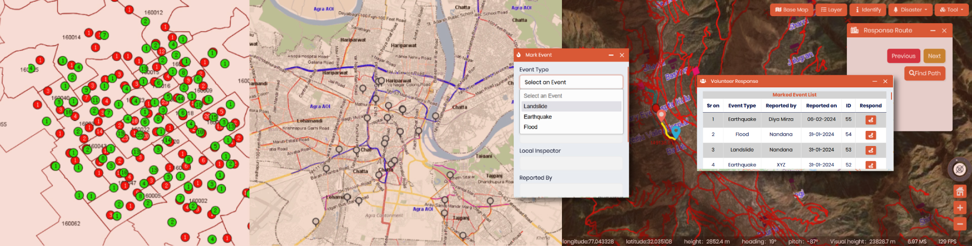
Spatial enablement of real time data and its Applications
In the modern world of Artificial intelligence and virtual reality, although slowly and steadily, real time....
Read More
Unveiling the Booming GIS Trends in 2024
Navigating the Geospatial Revolution – Top GIS Trends in 2024 The world of Geographic Information Systems....
Read More
GIS for City Traffic and Urban Parking Management
Explore innovative solutions, data-driven strategies, and the latest technologies reshaping the future of smart cities for....
Read More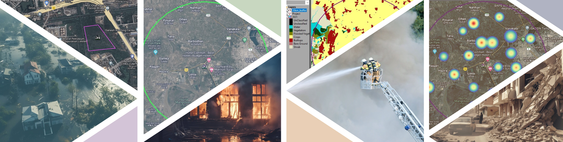
How to integrate Spatial Planning and Environmental Management?
How to integrate Spatial Planning and Environmental Management? In the dynamic landscape of India, the establishment....
Read More
Guide to Choose the Best GIS Software for Indian Enterprise Businesses
The integration of Geographic Information System (GIS) into the modern era is essential as it offers....
Read More
Beyond Maps: The Multifaceted Impact of GIS Software on Indian Industries
From mapping pumps to track pandemic outbreaks at the initial stage, to dynamic and comprehensive event....
Read More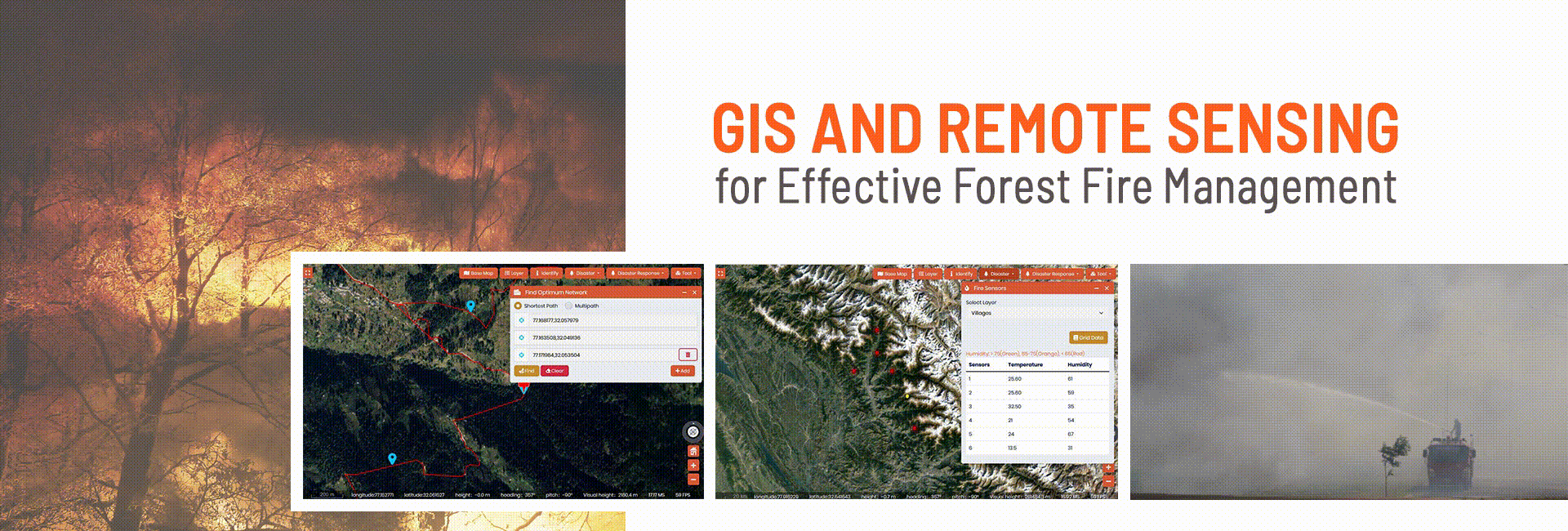
GIS and Remote Sensing for Effective Forest Fire Management
“A small spark can ignite an entire forest, but vigilance can prevent it.” This saying by....
Read More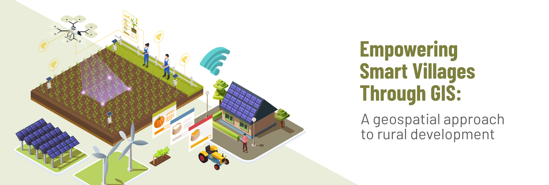
Empowering smart villages through gis: a geospatial approach to rural development
Introduction Smart villages are a concept aimed at leveraging technology and innovative solutions to enhance the....
Read MoreTransforming Cities: Unlocking the Potentiality of IGIS in Planning and Monitoring of Urban Areas
Introduction Urban areas are dynamic and intricate settings that are in a constant state of change.....
Read More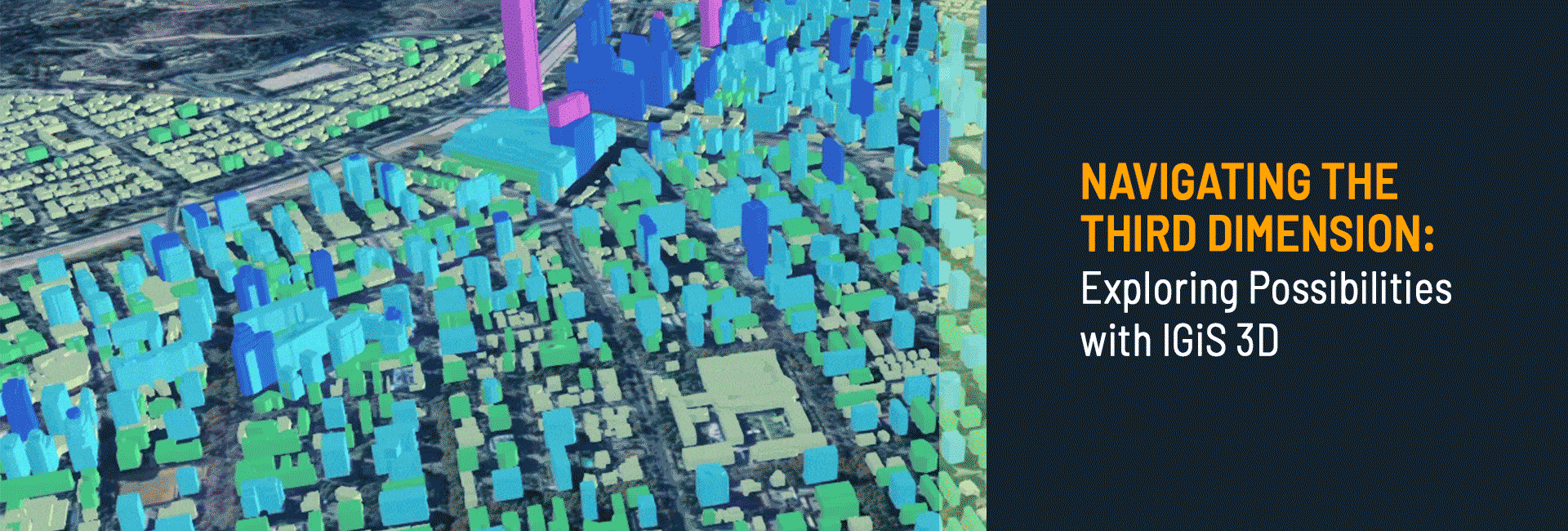
Navigating the Third Dimension: Exploring Possibilities with IGiS 3D
Introduction Traditional GIS data and mapping are limited to two dimensions, i.e. x and y-value, which....
Read More
Unlock the Power of Geospatial Technology with Indigenous IGiS Suite
In our fast-paced and ever-growing world, it’s easy to lose sight of the things that matter....
Read More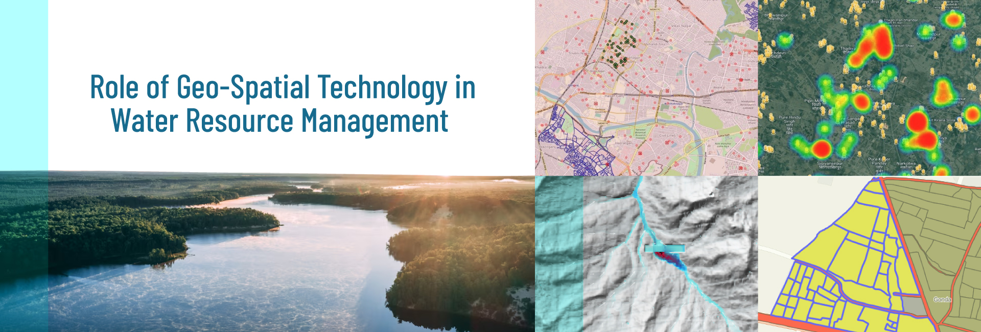
Role of Geo-Spatial Technology (GIS) in Water Resource Management
INTRODUCTION Water availability is a critical issue in India, where many regions experience water scarcity and....
Read More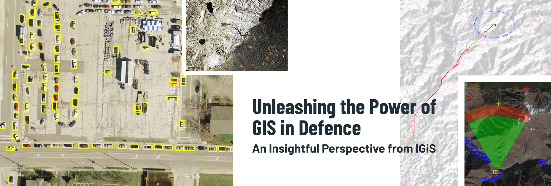
Unleashing the Power of GIS in Defence: An Insightful Perspective from IGiS
Introduction GIS is a pioneering technology that has become an indispensable part of our rapidly progressing....
Read More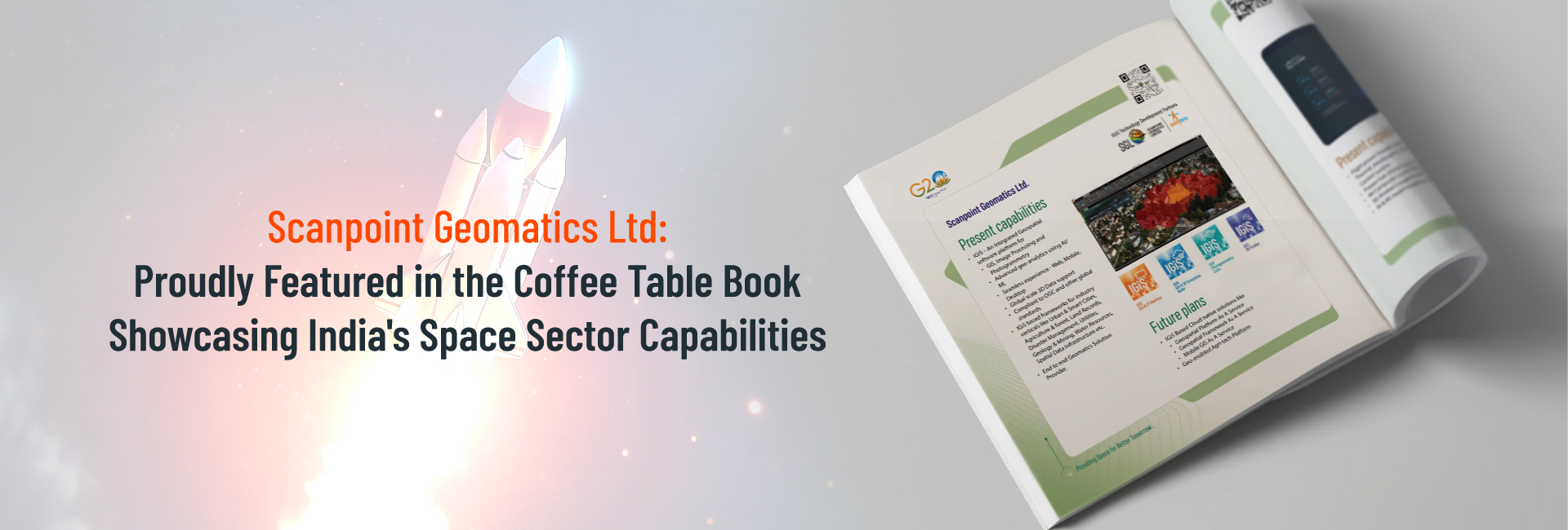
Scanpoint Geomatics Ltd: Proudly Featured in the Coffee Table Book Showcasing India’s Space Sector Capabilities
Introduction: We are thrilled to announce that Scanpoint Geomatics Ltd, a leading player in the geospatial....
Read More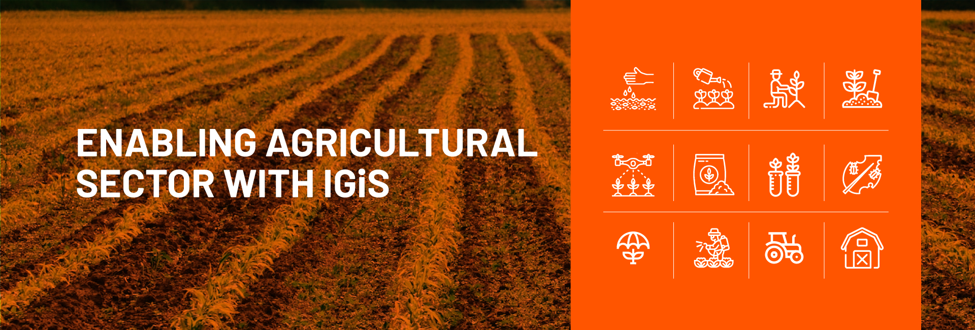
GIS Applications For Agriculture
INTRODUCTION As everyone knows, agriculture plays a vital role in India’s economy. Despite an increasingly urban....
Read More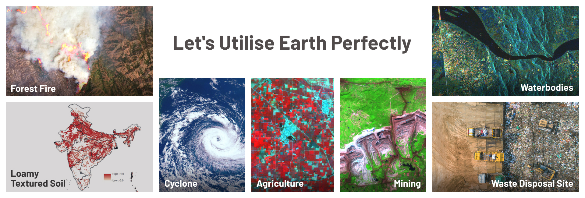
GIS Solution for Multiple Domains & Industries
There are No Passengers on Spaceship Earth. We all are Crew. So, Let’s Utilise Earth Perfectly....
Read More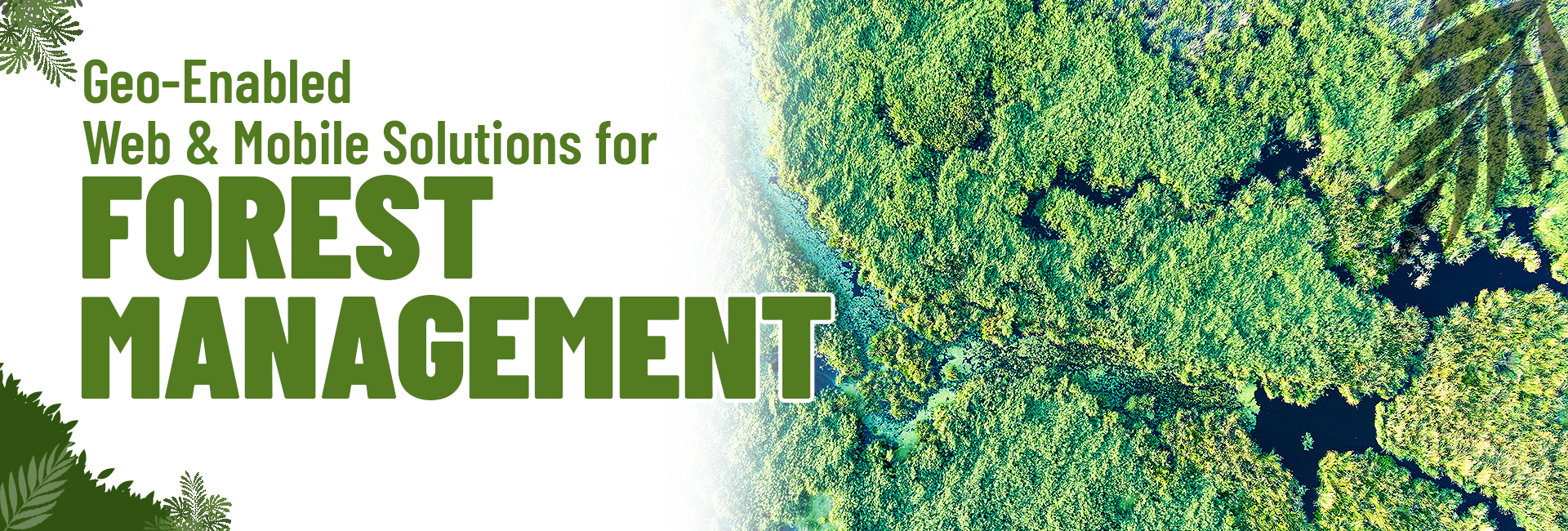
GIS FOR FOREST MANAGEMENT
Forest has an important influence on humans, vegetation cover, animals, plants, soil, stream flow, air quality,....
Read More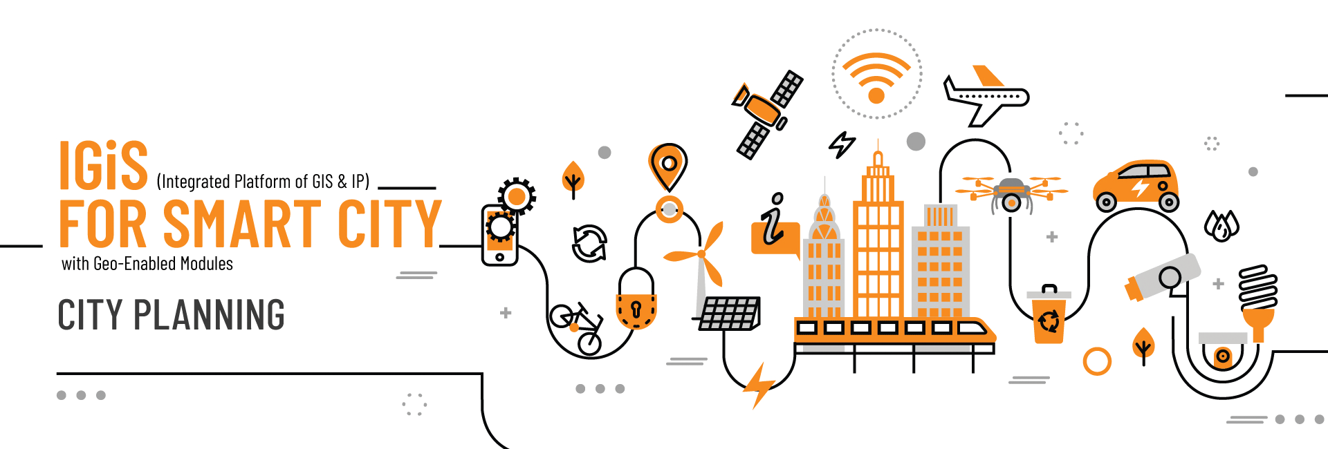
POWER OF GIS TO EMPOWER SMART CITY MANAGEMENT
In India, the 100 Smart Cities Mission was launched by Prime Minister Narendra Modi on June....
Read More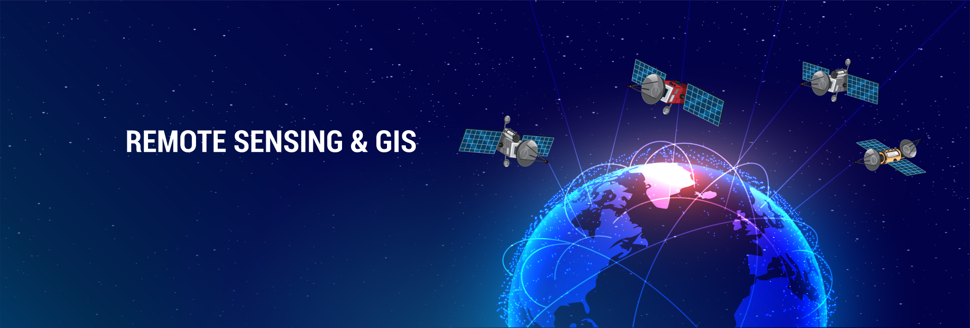
An Introduction to Remote Sensing and GIS: A Primer for the Novice
There was a discussion among the students about how we can get all the information about....
Read More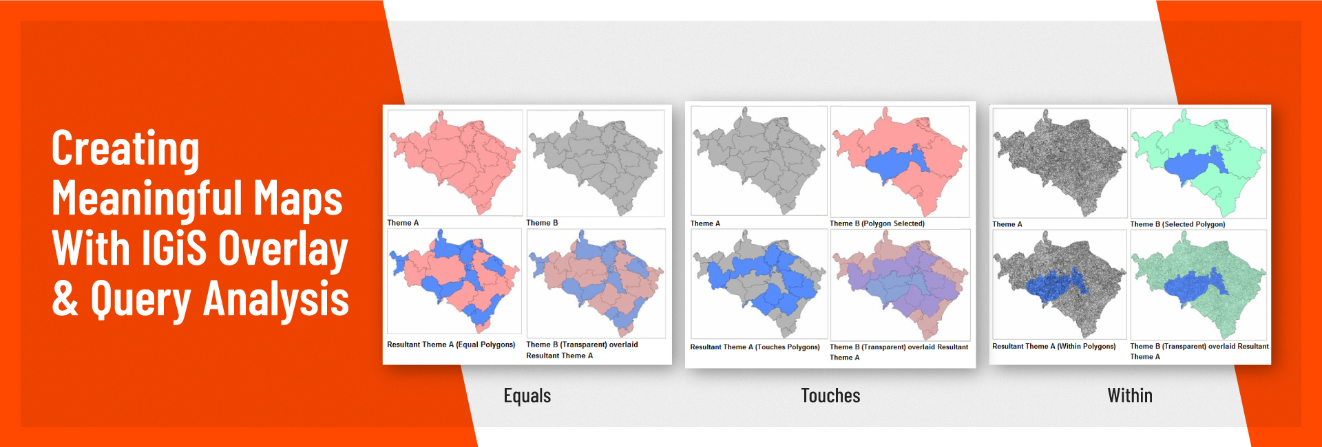
CREATING MEANINGFUL MAPS WITH IGiS OVERLAY & QUERY ANALYSIS
To answer the simple geographical questions like: where is the Statue of Unity? What is the....
Read More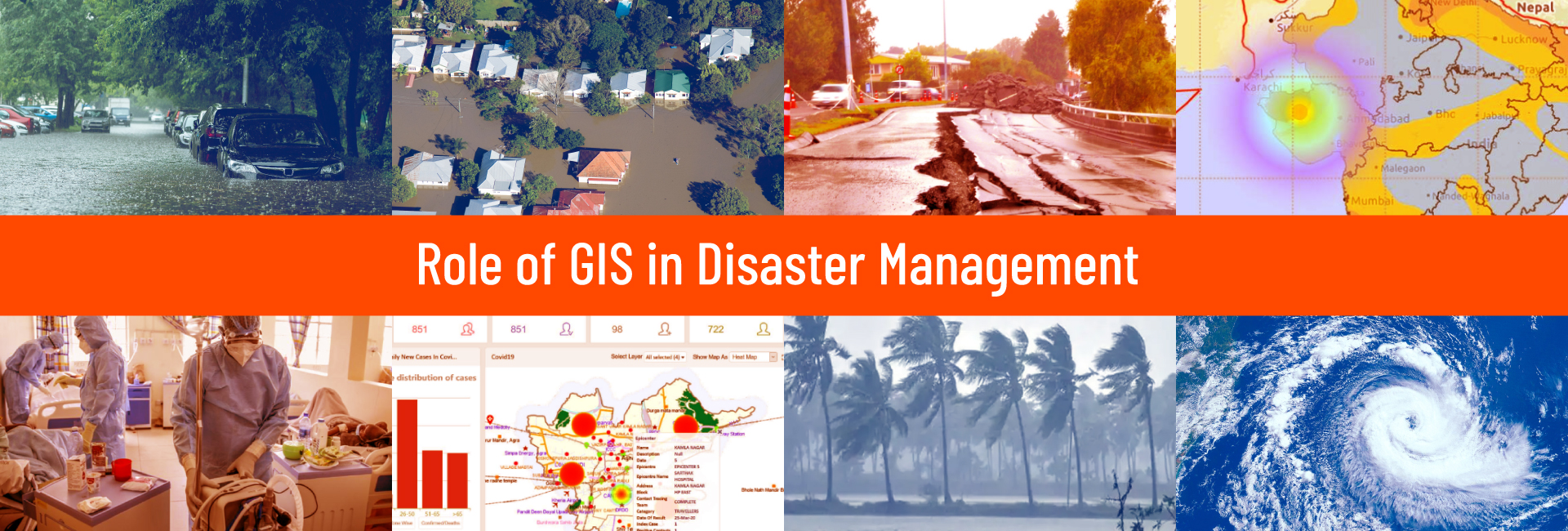
Role of GIS in Disaster Management
» 1. Introduction Today, current technology is advancing in various fields, especially in science and technology,....
Read More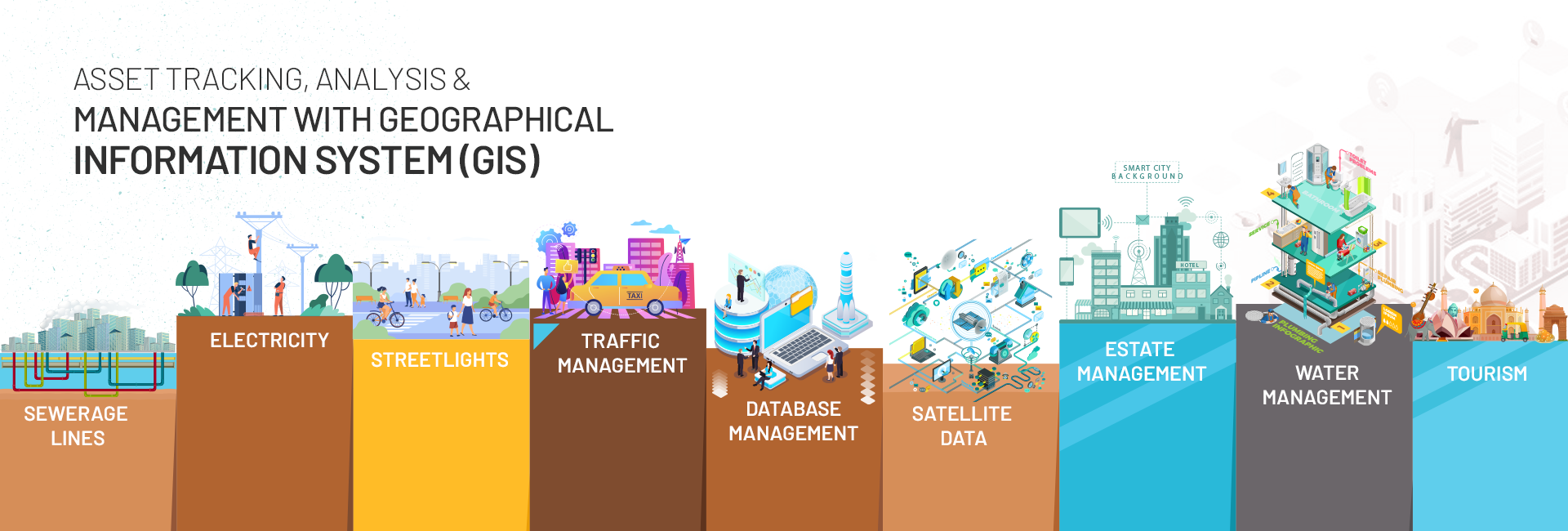
Asset Tracking Analysis & Management with GIS Based Asset Management
As a school student how often I had cursed the Municipal Corporation for the repaired and....
Read More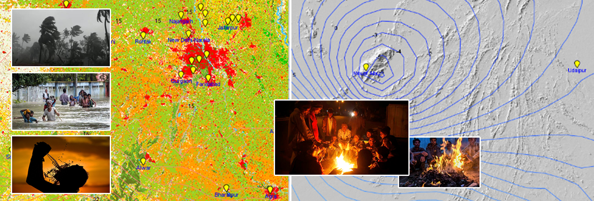
GIS and Weather Studies – A Strategic Tool for Meteorological Analysis
Did you know that since 530 B.C; the weather has played a defining role in losing....
Read More
GIS – Mirroring the COVID-19 Spread
The other day, I overheard two primary school students on their bicycles. The conversation was like....
Read More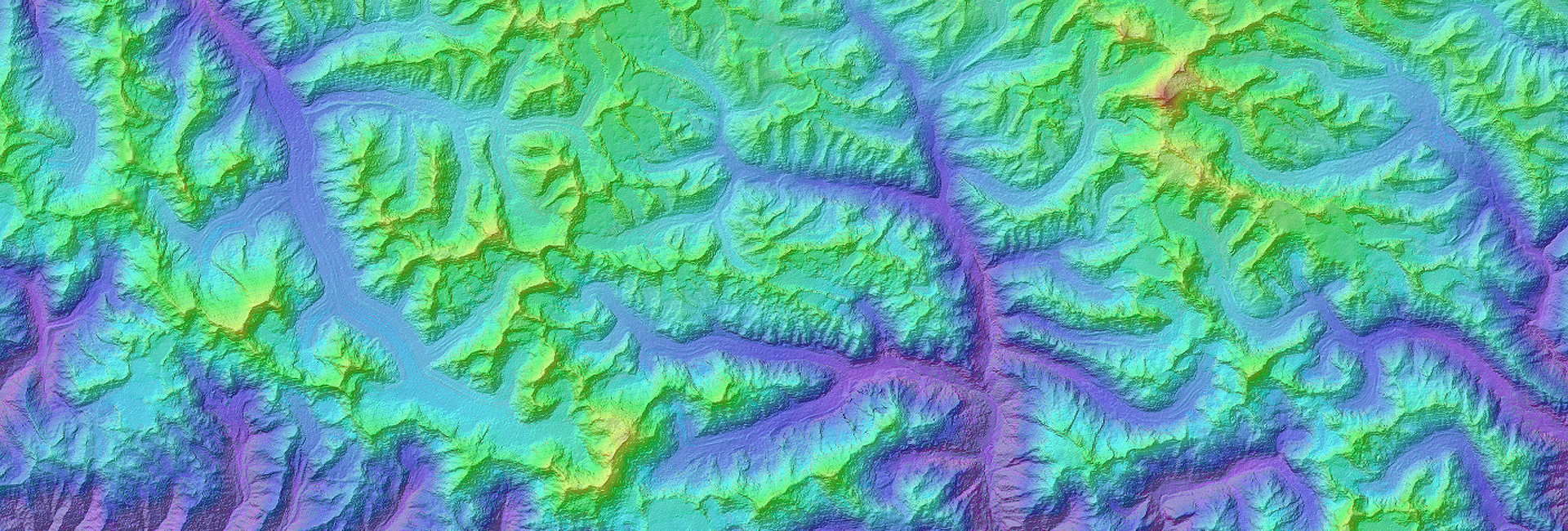
Photogrammetry for Terrain Modelling
The earth’s surface from one place to other consists of continuous and abrupt changes in elevation....
Read More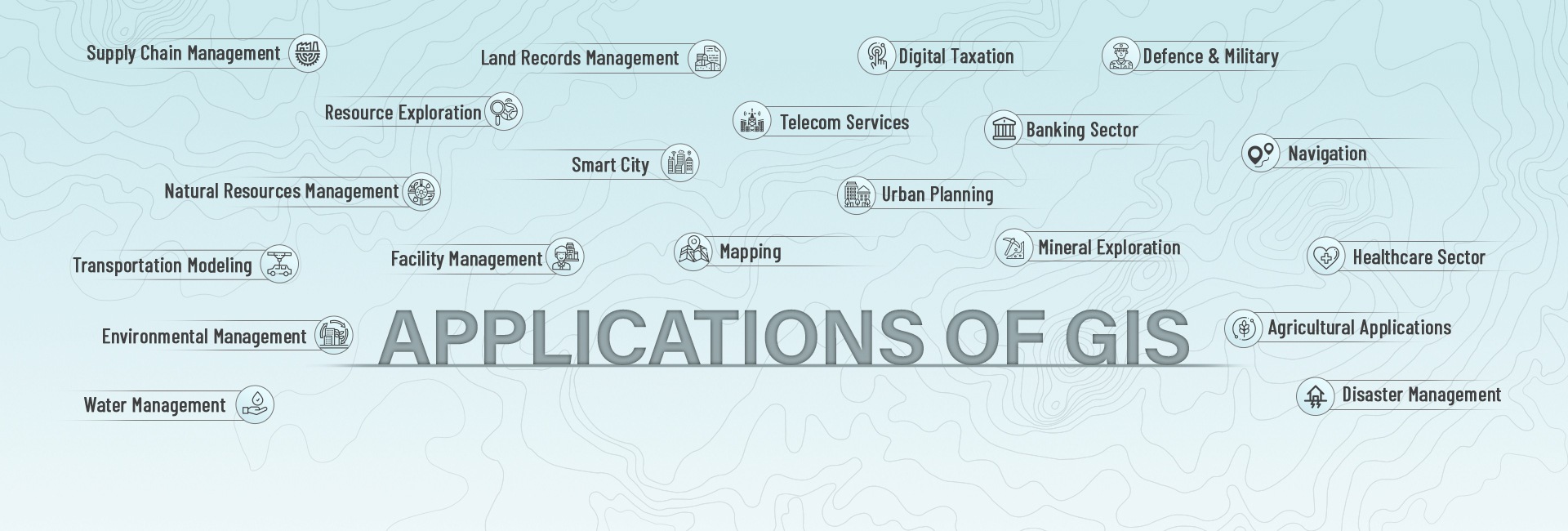
Important Applications of GIS
Geographical Information System, better known by its abbreviation GIS, is a software that aids professionals to....
Read More
Genesis of SGL
Scanpoint Geomatics Limited (SGL) is the pioneer of IGiS, an indigenous technology which brings GIS, Image....
Read More